SP-04: Future Challenges in Earth Sciences for Energy and Mineral Resources
Analysis of Dynamic Characteristics in Ore Comminution:Revisited
SKU:
C-95902
The crushing process begins with the communition of extracted ore in preparation for further activities to achieve ore values. Crushing operations are designed to produce uniform sized particles by crushing, grinding, and wet or dry classification. The capital investment and operation costs of milling equipment are high. For this reason it is important for us to choose the suitable crushing equipment. Factors that decide the choosing of crushing machine include the value concentration of the ore, its mineralogy, hardness, and moisture content. Today's infrastructure is literally built of rocks. Buildings, roads, bridges and railways constructions are almost entirely built out of excavated rock material, after being processed out into some usable products, such as aggregates and metals. Aggregates are processed rock materials such as sand and gravel, commonly used in roads and construction. Structural frames and rails are constructed from steel which is a product of mining, and a metallurgical process in which the metals in the ore are extracted from the raw material and then used to create other products, for example steel.Crushing plants have now-a-days became a vital part in the production of aggregates and metals. Steady-state simulation is mainly used for simulation of plants. With steady-state simulation the plant is simulated until equilibrium is reached. However, crushing is a continuous process and as such it is subjected to variations and changes in performance depending on the dynamics of the system.This paper stresses that crushing plants are affected by both gradual and discrete changes in the process which alter the performance of the entire system, making it dynamic. A dynamic simulation is defined here as continuous simulations with sets of differential equations to reproduce the dynamic behavior of a system. Crushing plants experience different operating performance depending on the configuration of each individual processing unit, the configuration of the plant, the design of the control system, events occurring in the process and additional disturbances.
Analysis of Salbardi Fault and Adjoining Area in Central India Using Remote Sensing and GIS Techniques for Tectonic Assessment
SKU:
C-95911
The present study is an investigation on the Salbardi fault and associated lineaments using a multi-spectral satellite image and also geographic information systems (GIS) techniques. Several morphotectonic landforms in the study area including fault scarps, triangular facets, erosional benches and offset streams are well recognized both from remotely-sensed data and in the field. These landforms, which are in most cases related to the studied fault, indicate active-faulting in the study area. The Salbardi fault trending ENE-WSW is an important element of the Son Narmada Tapti lineament, the most important lineament in the central India. Analysis of Salbardi and the adjoining area was carried out using an IRS-LISS-3 imagery. The tectonic study of the area is relevant for understanding the broad tectonics of the Son Narmada Tapti Lineament (SONATA) which is the major tectonic element in Central India.
Analytical Solution for Solute Transport Modeling along the Unsteady Groundwater Flow in Porous Medium
SKU:
C-95905
The present paper deals with mathematical modeling of solute transport in porous media to predict the contaminant distribution pattern in groundwater. Here we used the concept of dispersion related seepage velocity, together with the concept of Reynolds number. Initially the groundwater system is not solute free. The linear combination of time dependent source concentration with initial solute concentration is considered at the origin of the aquifer and at the other end the concentration gradient is supposed to be zero. We introduced a new independent time variable. A new transformation is employed for reducing the advection dispersion equation into constant coefficient. Laplace transform technique is used to obtain the desired solution. The analytical solution is illustrated graphically using various examples of velocity expressions for the suitable input parameters. The Peclet and Courant numbers are also considered for predicting the concentration pattern in the groundwater system.
Delineation of Possible Areas of Petroleum Exploration using ENVISAT ASAR and ERS Data in Mahanadi Offshore Basin, India and the Potential and Prospect of 85? E Ridge
SKU:
C-95909
With gradual depletion of oil reserves in the continental part of the earth and to cope with the increasing demands of present life there is no other option but to look towards the offshore oil potentials. Remote sensing and GIS technology appear to be the most suitable, reliable and economic technique for a reconnaissance survey, particularly in the offshore region which is otherwise inaccessible. In the present study ENVISAT ASAR and ERS image data have been used to delineate potential oil bearing zones for further detailed exploration in the Mahanadi offshore basin. At first, the oil seepages are identified from the images and are plotted on a georeferenced map in GIS environment. Then the oil seepages are differentiated from the pollution slicks coming out of moving ships or tankers and the biogenic slicks formed due to algal material. After discarding the aforesaid noise slicks the natural oil seepages are analysed on the basis of shape, size and repetitiveness with time. Finally the identified natural seepages have been correlated with major tectonic features and structural elements such as basement faults and Cretaceous faults present underneath in the ocean floor which may provide avenues for the oil to reach the sea bed. A fairly good relationship is seen between the oil slicks and the faults. During this study some oil seepages in the deep offshore region are found to be associated with 85? E Ridge System situated underneath. Earlier workers suggested the 85? E Ridge to be showing positive magnetic anomaly of single polarity and negative free air gravity anomaly and the region may represent a continental sliver. The present study highlights the possibility that the 85? E Ridge is a potential zone for further exploration for petroleum.
Development of Emulsion Based Drilling Fluid System for Depleted Fractured Reservoirs
SKU:
C-95907
Oil-in-water (O/W) emulsion drilling fluid is one of the most important low-density drilling fluids suitable for depleted fractured reservoirs for avoiding formation damage during oil and gas well drilling. In this work, an attempt has been made to study the rheological and filtration properties of oil-in-water emulsion drilling fluids containing guar gum as viscosifier and calcium carbonate as filtration controlling agent. Test results have shown that guar gum shows vicosifying properties for oil-inwater emulsion drilling fluids (diesel oil as dispersed phase and KCl brine as continuous phase). The stability of the emulsion systems was well achieved by an anionic, water soluble and biodegradable surfactant. The filtrate loss was mainly controlled by CaCO3.. The filter cakes formed were thin, impermeable and the volumes of filtrate obtained were within the limits reported in literatures. Drilling fluid combinations were developed by varying concentration of guar gum and CaCO3 to examine the effect of these additives on emulsion and these combinations have shown favourable rheological and filtration properties up to 70?C; these can be used for the better drilling performance in depleted fractured reservoirs.
Development of Non-Damaging Drilling Fluid System for Shale Gas Reservoirs
SKU:
C-95908
Unlike conventional reservoirs, drilling and completion program for shale gas reservoirs need high technical expertise and vast experience. Drilling of shale formations poses high challenge to drilling engineers due to the presence of different clay minerals which lead to swelling of the shale formations when interaction with drilling fluid occurs. Hence, an attempt is made to develop a non-damaging drilling fluid which can drill the shale formations effectively and safely. In this work a non-damaging drilling fluid system is developed with the use of different polymers. The developed system contains xanthan gum, pre-gelatinized starch, polyanionic cellulose and calcium carbonate and it is inhibited by potassium chloride salt. An extensive experimental analysis has been carried out with these polymers in order to have optimal rheological and filtration properties. Fann viscometer model 35SA is used to perform rheological studies and Fann API filter press is used to optimize filtration properties. The experimental investigation brings out that the developed drilling fluids have favorable rheological and filtration properties and can be used to drill the shale gas reservoirs without raising any environmental issues.
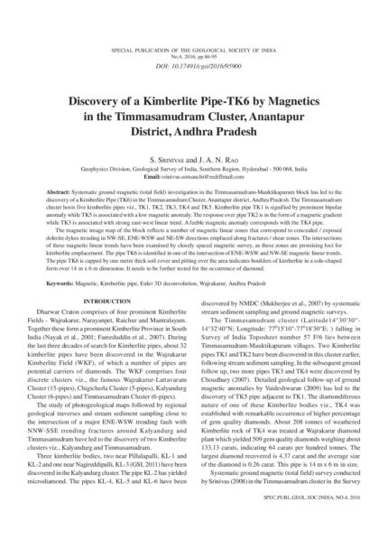
Discovery of a Kimberlite Pipe-TK6 by Magnetics in the Timmasamudram Cluster, Anantapur District, Andhra Pradesh
SKU:
C-95900
Systematic ground magnetic (total field) investigation in the Timmasamudram-Mauktikapuram block has led to the discovery of a Kimberlite Pipe (TK6) in the Timmasamudram Cluster, Anantapur district, Andhra Pradesh. The Timmasamudram cluster hosts five kimberlite pipes viz., TK1, TK2, TK3, TK4 and TK5. Kimberlite pipe TK1 is signified by prominent bipolar anomaly while TK5 is associated with a low magnetic anomaly. The response over pipe TK2 is in the form of a magnetic gradient while TK3 is associated with strong east-west linear trend. A feeble magnetic anomaly corresponds with the TK4 pipe.The magnetic image map of the block reflects a number of magnetic linear zones that correspond to concealed / exposed dolerite dykes trending in NW-SE, ENE-WSW and NE-SW directions emplaced along fractures / shear zones. The intersections of these magnetic linear trends have been examined by closely spaced magnetic survey, as these zones are promising loci for kimberlite emplacement. The pipe TK6 is identified in one of the intersection of ENE-WSW and NW-SE magnetic linear trends. The pipe TK6 is capped by one metre thick soil cover and pitting over the area indicates boulders of kimberlite in a sole-shaped form over 14 m x 6 m dimension. It needs to be further tested for the occurrence of diamond.
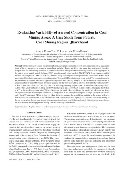
Evaluating Variability of Aerosol Concentration in Coal Mining Areas: A Case Study from Patratu Coal Mining Region, Jharkhand
SKU:
C-95904
The monitoring of aerosol concentration becomes a high environmental priority in mining and adjoining areas and it is one of the key parameters to assess the atmospheric pollution. Human activities, coal mine fire, overburden dumping, transportation and other mining operations or coal based industries are responsible for increasing pollution in mining regions. In the present study aerosol optical thickness (AOT) was determined using handheld MICROTOPS II sunphotometer at five different wavelengths (340, 500, 870, 936 and 1020 nm), along with temperature and precipitable water vapour (PWV) which are estimated from the measurements of solar intensity at 936nm and 1020nm during peak winter period. The pattern of measured aerosol concentration along with water vapour and temperature were spatially analyzed in GIS environment with reference to land use/land cover map of the region. The study revealed that the study area (381 sq. km) was dominated by wasteland (98.64 sq. km, 25.89%) and forest cover 136.50 sq. km (35.82%) as mapped during the year 2009. The area under coal mining is 16.87 sq. km (4.42%), built-up land is 33.88 sq. km (8.89%) and cropped area is about 62.29 sq. km (16.35%). The spatial distribution of AOT in the wavelength region 340-1020nm exhibits that the AOT values are higher for smaller wavelengths and lower for larger wavelengths indicating the dominance of fine particles in the atmosphere compared to larger sized particles. In this study, the AOT wavelength 340nm is therefore taken for further analysis due to its higher variation in the area as well as its harmful effect on human health. It was observed that AOT concentration was higher in the industrial area in the vicinity of thermal power plant, Sponge iron factory, mining area and coal based small industries located within the urban area, whereas lower in the forest and low population density areas within the agricultural lands.
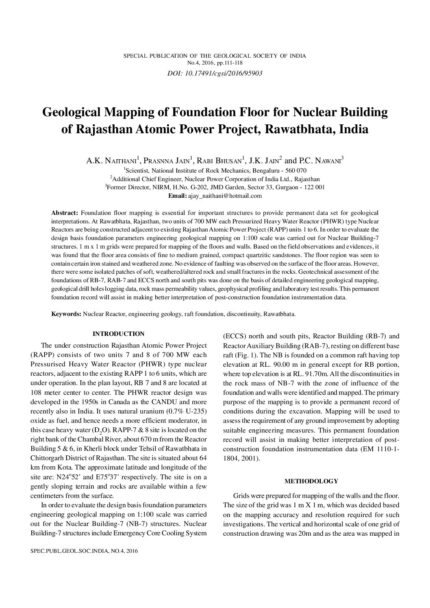
Geological Mapping of Foundation Floor for Nuclear Building of Rajasthan Atomic Power Project, Rawatbhata, India
SKU:
C-95903
Foundation floor mapping is essential for important structures to provide permanent data set for geological interpretations. At Rawatbhata, Rajasthan, two units of 700 MW each Pressurized Heavy Water Reactor (PHWR) type Nuclear Reactors are being constructed adjacent to existing Rajasthan Atomic Power Project (RAPP) units 1 to 6. In order to evaluate the design basis foundation parameters engineering geological mapping on 1:100 scale was carried out for Nuclear Building-7 structures. 1 m x 1 m grids were prepared for mapping of the floors and walls. Based on the field observations and evidences, it was found that the floor area consists of fine to medium grained, compact quartzitic sandstones. The floor region was seen to contain certain iron stained and weathered zone. No evidence of faulting was observed on the surface of the floor areas. However, there were some isolated patches of soft, weathered/altered rock and small fractures in the rocks. Geotechnical assessment of the foundations of RB-7, RAB-7 and ECCS north and south pits was done on the basis of detailed engineering geological mapping, geological drill holes logging data, rock mass permeability values, geophysical profiling and laboratory test results. This permanent foundation record will assist in making better interpretation of post-construction foundation instrumentation data.
Geotechnical Problems Associated with Infrastructure Development Activity in the Himalayas
SKU:
C-95901
There are several issues associated with infrastructure development in the Himalayas; they fall under diverse categories like administrative, socio-economic, environmental, and techno-geological. The techno-geological issues which are of immediate concern to us are generally referred to as 'Geological Uncertainties' in engineering parlance. They are, generally, due to insufficient budget allocation for quality geological surveys, and unavailability of manpower appropriately trained in geological engineering field. Many hydropower projects have been and are to be constructed in the area to harness the hydropower potential of the rivers and their tributaries. These major infrastructure projects lead to development of ancillary industries, communication routes, transportation, tourism and other development works in the area. Serious consequences may result from inadequate or incompetent geotechnical investigations. This paper outlines the geotechnical problems and related issues associated with these developmental projects and to collate the basic information inputs for identifying the problems in future and addressing their solutions.
Propagation of SH-Waves in a Sandwiched Dry Sandy Medium
SKU:
C-95897
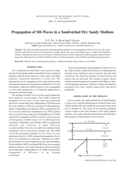
The effect of sandiness parameter and inhomogeneity parameter on the propagation of SH-type waves in a dry sandy medium sandwiched between an inhomogeneous isotropic elastic half- space and isotropic layer is studied. The dispersion relation is obtained and special cases are discussed. Numerical results are shown graphically by plotting graphs of phase velocity against non-dimensional wave number for different values of sandiness parameter, ratio of thickness and inhomogeneity parameter.
Reflection and Transmission of SH-Waves through a Self-Reinforced Elastic Layer Embedded Between Two Transversely Isotropic Inhomogeneous Elastic Half-Spaces
SKU:
C-95896
The reflection and transmission of plane SH-waves through a self-reinforced elastic layer sandwiched between two transversely isotropic inhomogeneous elastic half-spaces is studied. The expressions for reflection and transmission coefficients are obtained. These coefficients are plotted against the wave number. It is found that the reflection and transmission coefficients are influenced by the reinforcement parameters of the sandwiched layer. The results obtained are presented graphically. Some special cases are also considered.
Study of Wax Inhibition in the Indian Waxy Crude Oil by Polarizing Microscope and its Effect on Rheology
SKU:
C-95906
This research article deals with the effect of thermal conditions on the size and morphology of waxy crystals in the Indian crude oil and their influence on the rheological property at different temperatures. The effect of concentrations of flow improvers on the rheology of waxy crude oil has also been studied. Two commercial pour point depressants are used to show the effect of additives on waxy crude oils.The images of wax crystals are taken at various temperatures for both virgin and additivetreated crude oil. Both temperature and additive treatment affect the size and morphology of crystals. Wax crystals have little influence on the rheological properties of the oil at high temperature because the sample is a dilute suspension at this temperature. As the sample was cooled to lower temperature, more wax crystals appeared, with very little agglomeration at first. These crystals were also increasing in size. Due to the wax crystals, the oil acts as a dispersive suspension. Agglomeration between particles becomes common and a lattice is formed and all neighboring agglomerates appear to be connected to each other. The network between wax crystals can be more clearly observed at lower temperatures. The waxy structure at this temperature is more likely to be a porous medium with a continuous phase of solid wax and a dispersed phase of oil base. In case of additivetreated crude oil, wax crystals do not agglomerate even at lower temperatures, which shows that treated crude oils are both pumpable and flowable at even low temperatures which is not the case in neat crude oil. Also, from rheological studies it is shown that additive-treated crude oil require less shear stress i.e less power consumption for transportation.
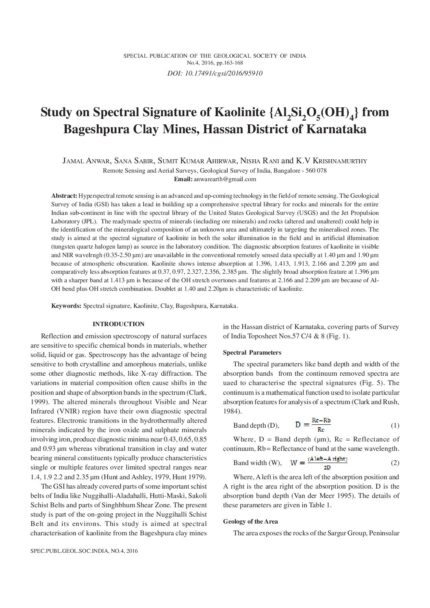
Study on Spectral Signature of Kaolinite {Al2Si2O5(OH)4} from Bageshpura Clay Mines, Hassan District of Karnataka
SKU:
C-95910
Hyperspectral remote sensing is an advanced and up-coming technology in the field of remote sensing. The Geological Survey of India (GSI) has taken a lead in building up a comprehensive spectral library for rocks and minerals for the entire Indian sub-continent in line with the spectral library of the United States Geological Survey (USGS) and the Jet Propulsion Laboratory (JPL). The readymade spectra of minerals (including ore minerals) and rocks (altered and unaltered) could help in the identification of the mineralogical composition of an unknown area and ultimately in targeting the mineralised zones. The study is aimed at the spectral signature of kaolinite in both the solar illumination in the field and in artificial illumination (tungsten quartz halogen lamp) as source in the laboratory condition. The diagnostic absorption features of kaolinite in visible and NIR wavelrngh (0.35-2.50 ?m) are unavailable in the conventional remotely sensed data specially at 1.40 ?m and 1.90 ?m because of atmospheric obscuration. Kaolinite shows intense absorption at 1.396, 1.413, 1.913, 2.166 and 2.209 ?m and comparatively less absorption features at 0.37, 0.97, 2.327, 2.356, 2.385 ?m. The slightly broad absorption feature at 1.396 ?m with a sharper band at 1.413 ?m is because of the OH stretch overtones and features at 2.166 and 2.209 ?m are because of Al- OH bend plus OH stretch combination. Doublet at 1.40 and 2.20?m is characteristic of kaolinite.
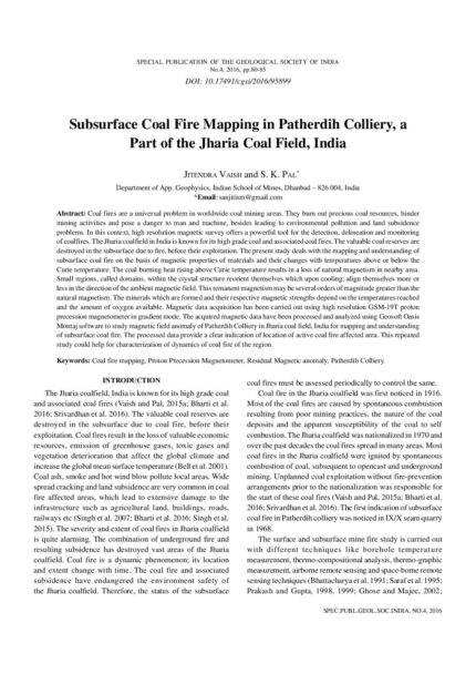
Subsurface Coal Fire Mapping in Patherdih Colliery, a Part of the Jharia Coal Field, India
SKU:
C-95899
Coal fires are a universal problem in worldwide coal mining areas. They burn out precious coal resources, hinder mining activities and pose a danger to man and machine, besides leading to environmental pollution and land subsidence problems. In this context, high resolution magnetic survey offers a powerful tool for the detection, delineation and monitoring of coalfires. The Jharia coalfield in India is known for its high grade coal and associated coal fires. The valuable coal reserves are destroyed in the subsurface due to fire, before their exploitation. The present study deals with the mapping and understanding of subsurface coal fire on the basis of magnetic properties of materials and their changes with temperatures above or below the Curie temperature. The coal burning heat rising above Curie temperature results in a loss of natural magnetism in nearby area. Small regions, called domains, within the crystal structure reorient themselves which upon cooling; align themselves more or less in the direction of the ambient magnetic field. This remanent magnetism may be several orders of magnitude greater than the natural magnetism. The minerals which are formed and their respective magnetic strengths depend on the temperatures reached and the amount of oxygen available. Magnetic data acquisition has been carried out using high resolution GSM-19T proton precession magnetometer in gradient mode. The acquired magnetic data have been processed and analyzed using Geosoft Oasis Montaj software to study magnetic field anomaly of Patherdih Colliery in Jharia coal field, India for mapping and understanding of subsurface coal fire. The processed data provide a clear indication of location of active coal fire affected area. This repeated study could help for characterization of dynamics of coal fire of the region.

